Description
This activity provides students with a basic understanding of topographic maps and how to interpret them.
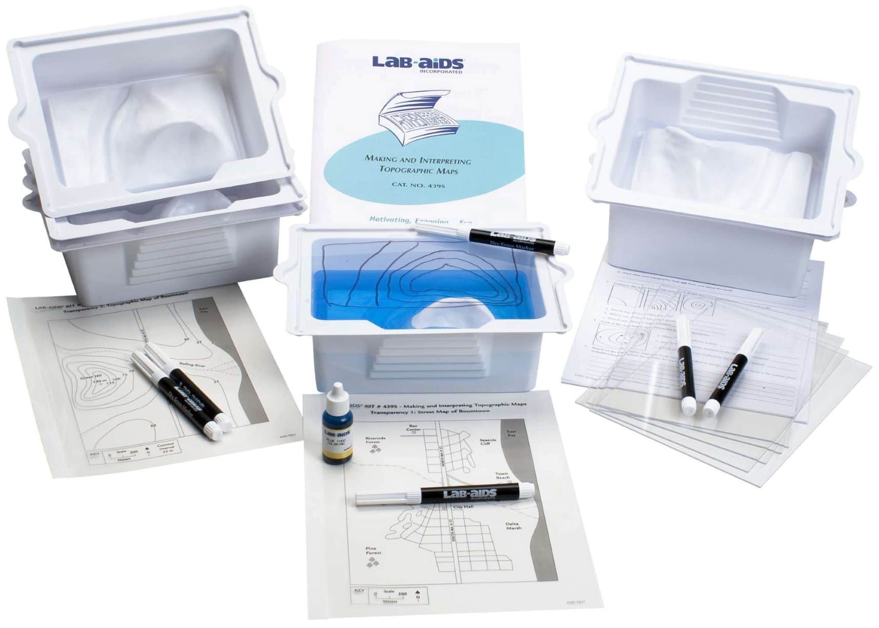
Students conduct a hands-on investigation using the Lab-Aids® Topographic Model to construct contour lines and create a topographic map of an area. The activity illustrates the relationship between the contour lines on a topographic map and the actual shape of the land.
Provides materials for six student groups.
Kit Contents:
6 x Topographic Basins
6 x Transparent Plastic Lids
6 x Dry Erase Markers
1 x Blue Food Coloring, 15mL Drop-Controlled Bottle
1 x Transparency 1: Street Map of Boomtown
1 x Transparency 2: Topographic Map of Boomtown
28 x Student Worksheet and Guides
1 x Teacher’s Guide and MSDS Packet


Reviews
There are no reviews yet.